Remote-sensing checks
Photo-interpretation of satellite imagery and ongoing monitoring help verify farmers' declarations against the agricultural support measures requested.


Consulting
DIAGRAM combines agricultural and digital expertise to help organisations clarify priorities, assess opportunities and turn strategic goals into practical programmes.
Strategic consulting
We support organisations facing complex transformation challenges: bringing needs and operational context into focus, defining a practical direction, and connecting strategic goals with technology, data and expertise.
Agriconsulting / Territorial services
Agriconsulting has worked for more than 30 years on territorial information services supporting AGEA's National Agricultural Information System (SIAN). Since 2022, it has led the consortium delivering agronomic engineering services for SIAN, Lot 2.
Photo-interpretation of satellite imagery and ongoing monitoring help verify farmers' declarations against the agricultural support measures requested.
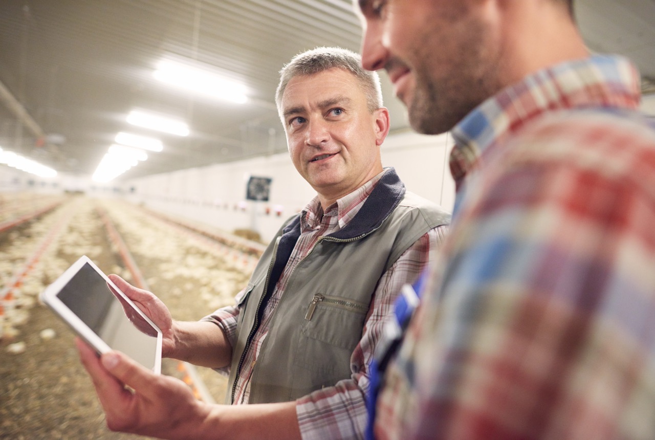
On-site checks identify land use and help verify compliance with commitments made by agricultural businesses and project participants.
Inspections after severe weather assess the link between the event and reported losses, and help quantify the affected agricultural area.
A clear path forward
Bring needs, available information and operational context into focus to identify where change can have the greatest value.
Set clear priorities and a practical direction for digital transformation across agriculture and agri-food value chains.
Connect strategic goals with technology, data and expertise to help move programmes from planning into practice.