Remote sensing
Satellite and field observations help describe agricultural conditions across crops, soils and territories.
Research & development
We connect agricultural knowledge, satellite technologies and data science to move precision agriculture forward.
Research & development
Our work brings together agricultural expertise, satellite observation, artificial intelligence and precision farming. Research helps translate data and emerging methods into clearer decisions and more sustainable practices.
Research in practice
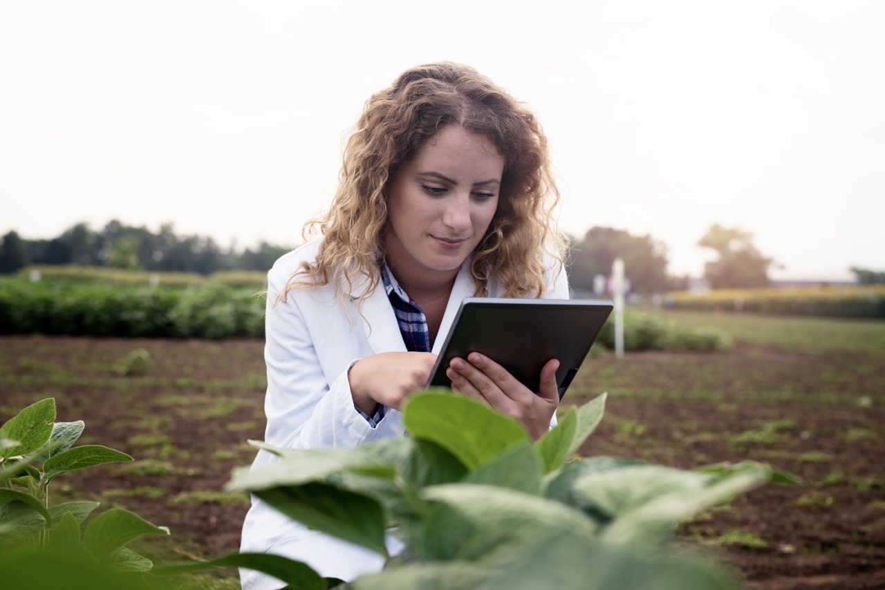
Satellite and field observations help describe agricultural conditions across crops, soils and territories.
Digital analysis and artificial intelligence can make complex agricultural information more useful for decision-making.
Research supports approaches that make agricultural operations more targeted, measurable and attentive to resources.
From research to impact
By combining scientific methods with practical knowledge of agriculture, DIAGRAM helps build tools and approaches that support innovation across farms, agri-food value chains and territories.