
Farm management · Livestock · Traceability · Soil mapping
Diagram FM
One connected digital ecosystem for managing farm operations,
livestock, traceability processes and soil data.
01 / Farm management
Bring farm data and field operations together.
A digital platform for managing agricultural businesses, machinery and technical production processes, supporting operational and strategic decisions.
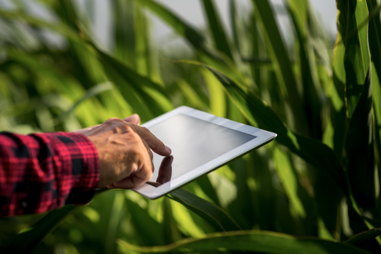
Manage plots, machinery, staff, suppliers, treatments and company data. Satellite and drone vegetation indices, weather and agronomic data support crop-specific decisions, while machinery integrations connect field operations with business records.
- 01
Company data
Keep machinery, equipment, staff, suppliers, buildings, infrastructure and plots in one central, up-to-date register.
- 02
Satellite and vegetation indices
Use NDVI, NDRE, NDWI, SAVI, EVI2 and CIRE from satellite, drone and sensor data to assess crop vigor, water stress and plant condition.
- 03
Weather and agronomic indicators
Combine agrometeorological data and crop indicators to monitor field conditions and support timely decisions.
- 04
Precision agriculture and machinery
Create seeding and nutrient prescription maps, irrigation advice and yield estimates. Connect machinery and telematics for operational data and performance monitoring.
- 05
Treatment and compliance
Manage treatment records, label and PPE checks, buffer zones, exemptions, CAP Eco-schemes and Nitrates Directive requirements.
- 06
Decision support
Crop-specific recommendations and alerts support irrigation, seeding, nutrition and harvest, as well as weather risks, pests and diseases.
Product demo
See farm management in action.
Explore DIAGRAM FM tools for field operations and business records.
02 / Livestock
Monitor the herd throughout its lifecycle.
Collect, integrate and analyse livestock data to support targeted herd management, animal welfare and efficient farm operations.
Manage facilities, animal records, daily activities and production data across the livestock lifecycle. Barn sensors monitor thermal comfort, light, noise and air quality indicators such as ammonia, carbon dioxide and particulate matter.
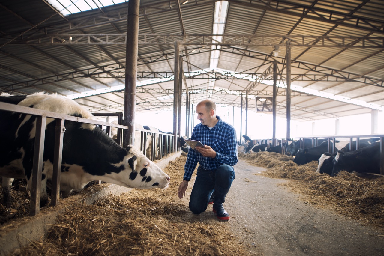
The Livestock module provides one structured environment for farm facilities, animal records, daily activities and analysis, maintaining traceability and consistent data from one stage of production to the next.
Environmental monitoring in the barn
Sensor data gives teams a real-time view of conditions affecting animals and staff. Track thermal comfort (THI), light, noise and air pollutants such as ammonia, carbon dioxide and particulate matter.
Colour-coded risk levels and time-based graphs help identify critical conditions, assess thermal stress and plan timely interventions.
Product demos
See livestock management in action.
Explore tools for herd records and environmental monitoring in the barn.
Livestock management
Barn monitoring
03 / Traceability
Connect production, compliance and sustainability.
Follow production from the field to the final consumer, with visibility across suppliers, plots and production practices.
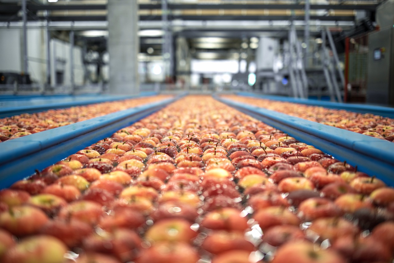
Coordinate field production, audits, site visits, inspections and certification records. Treatment and warehouse management, QR-code delivery traceability and document deadlines help maintain compliance from growers to buyers.
- 01
Field activities and inspections
Manage audits, checklists and site visits for technical activities, phenological stages, crop adversities, yield estimates and market-access requirements.
- 02
Documents and deadlines
Organise contracts, reports, images and certification documents, with control of related deadlines.
- 03
Treatment and warehouse register
Coordinate warehouse stock, phytosanitary treatments, treatment checks, fertilisation and technical inputs.
- 04
Traceability and compliance
Track deliveries with QR codes, crop costs, labels and safety data sheets, and applicable regional and organic production requirements.
- 05
Environmental and ESG data
Use soil, climate and land-use information for environmental monitoring, evaluation and ESG reporting, with guidance to support sustainable practices.
Product demo
See traceability management in action.
Explore connected traceability, compliance and production workflows.
04 / Soil mapping
Make soil variability visible and measurable.
High-resolution WebGIS maps combine satellite imagery, field surveys, predictive models and laboratory analyses.
Combine satellite data, field surveys and predictive models in WebGIS maps to show soil variability, organic carbon, erosion risk and soil texture, supporting production planning and sustainable land management.
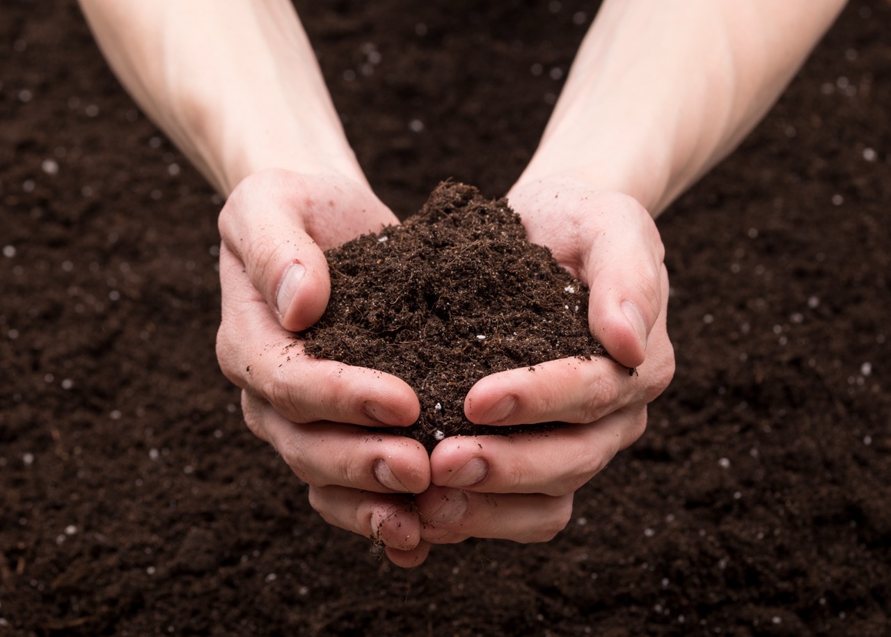
Multi-year satellite data are synthesised into bare-ground imagery and combined with georeferenced soil samples collected at 0–30 cm depth using RTK systems with centimetre-level accuracy.
- Organic carbon content
- Erosion risk
- Detailed subsoil components
These indicators support land management, production efficiency and sustainable practices. Accurate measurement of stored soil carbon can also help make soil a measurable asset in the emerging carbon-credit market.
Product demo
See soil mapping in action.
Explore high-resolution WebGIS maps and measurable soil intelligence.
05 / Sustainability
Turn operational data into measurable impact.
Monitor environmental performance from field to supply chain and use one connected dataset for more sustainable decisions.
Monitor the environmental footprint: greenhouse gas emissions, water use and soil carbon. Data from fields and inputs support ESG reporting and more efficient use of resources.
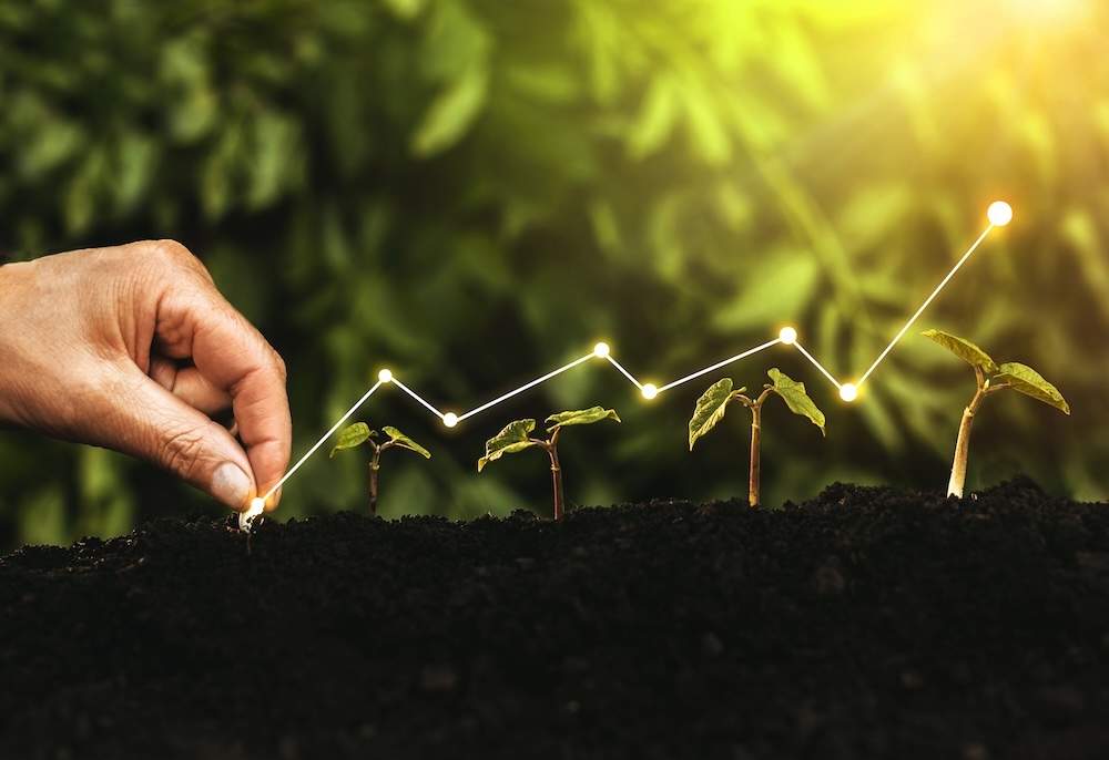
DIAGRAM FM brings together field activities, inputs, livestock and land data to make the environmental footprint of agricultural operations more visible and manageable.
- Greenhouse gas emissions and input efficiency
- Water use and irrigation performance
- Soil carbon and land stewardship
- ESG monitoring and reporting
Shared data supports resource optimisation, traceability and evidence-based sustainability reporting across the agri-food value chain.